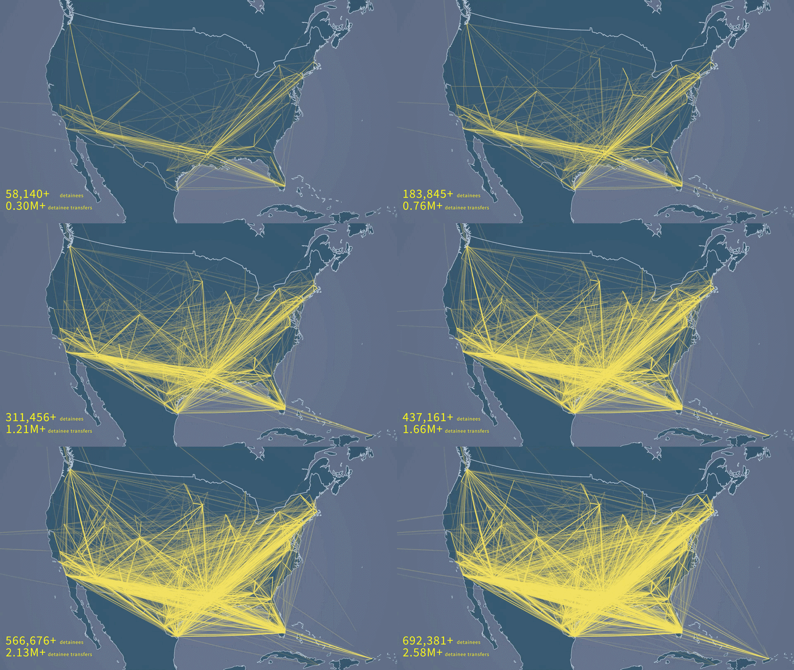
A promotional gif for the documentary showing domestic transfers of detainees.
My work for this video was a lot more involved than for the first two. I was creating the same types of visuals, but there was a need to display vector data at runtime over a Unity3D map using the ArcGIS SDK, whose toolset did not include any functionality to display non-ArcGIS maps. So, using Delaunay triangulations, spherical interpolation, and geospatial-engine space conversions, I built a suite of tools that could take GeoJSON shapes and display them, and could read CSVs/GeoJSONs and display lines and points as well. I also built a Camera tool that allowed for a globe fly-around camera that was keyframed and animated using an array of coordinates and timings. All of these were robust and customizable and I will be publishing them as an open-source Unity plugin -- while I created them for use with the ArcGIS SDK, I plan to have them usable with any system of underlying earth visualization.